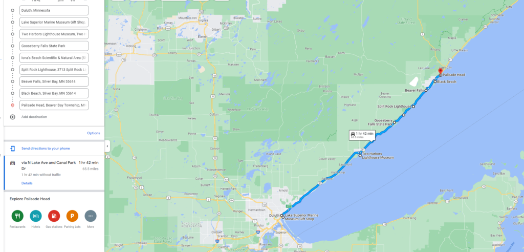
Our first stop was at the Duluth Aerial Lift Bridge. We then followed the path in the map below with the last stop for the day being Palisade Head. We also got a good workout with a lot of walking/hiking.
Duluth Aerial Lift Bridge
Watching ships pass under the bridge is one of the must-see things to do in Duluth Canal park where it is located. When the bridge is in the down position, it has a sidewalk to walk on to get across.

The Aerial Lift Bridge was constructed in 1901-1905 and modified in 1929. When a ship needs to pass through the canal it is raised up to a full height of 135 feet, and traffic is stopped on either side. It takes about a minute for the bridge to lift and a minute to lower. Operation is done manually from a control room on the bridge itself. People line the North and South Piers to watch the bridge in action and we were lucky to watch it in action.
There are also Lighthouses at the end of the piers – Duluth North Pier Lighthouse and Duluth South Pier Lighthouse and there is one right next to the Aerial bridge. You can walk up to the lighthouses along a well paved walkway and you will be rewarded with amazing view of the lake and surrounding.

There are many restaurants and café in the area and one can spend half a day in Canal Park if time permits. There is also a Maritime Museum that has numerous exhibits and information on the shipping industry along with stories of various ships and the Great Lakes.
Two Harbor Lighthouse was our next stop.
It is open 10am – 4pm, $5/Adult to see and climb the lighthouse. It is the oldest operating lighthouse in Minnesota and has been in operation since 1892 and has been listed on the National Register of Historic places since 1984. There is also the keeper’s house next to the Lighthouse that is open for you to tour. The Lighthouse itself has been converted to a 3-bedroom Bed and breakfast that one can stay in; it seems to be a popular place to stay too.
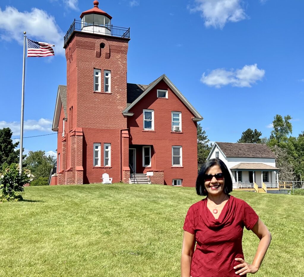
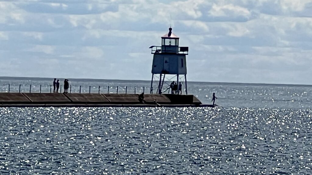
The area around the lighthouse is gorgeous with paved path to the lake and beautiful scenery around. There is also a pier leading to a smaller lighthouse.
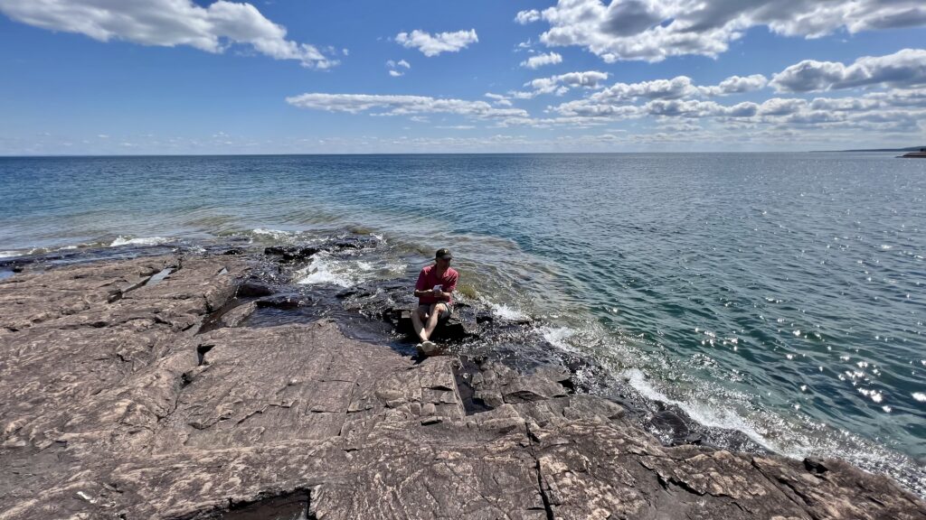
Gooseberry falls state park – Trails to rushing waterfalls
The trail is separated into two different parts- the upper falls and then the middle and lower falls. It is about a mile of walking to visit all 3 falls.
We took the path to the middle and lower falls first, and were greeted with waterfall, cascading over a series of rocks. There are paved wooden paths around the whole area and you can even walk over the rocks where the water flowed to get a better view of the upper and one of the lower falls.

We then walked over to the Upper Falls.
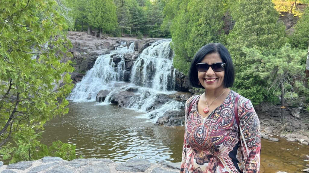
There is also a smaller fifth waterfalls that involves hiking an extra 2 miles. We chose not to hike to the fifth waterfall, although it is supposed to be a scenic hike through the forest with view of stream on one side.
Iona’s Beach Scientific & Natural Area – Pink Beach
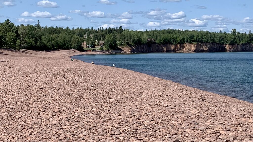
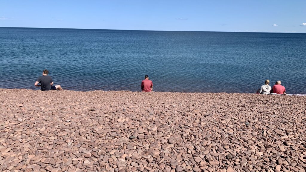
To get to this hidden gem, turn into the Iona’s Beach and Boat Landing area, and then follow the paths into the woods. The path splits into 2, one path leads to a small beach covered in smooth pink rocks. The path in the opposite direction leads to a much larger, half-mile long Beach. The beach is covered with smooth pink pebbles. Lovely place to sit and relax.

Split Rock Lighthouse
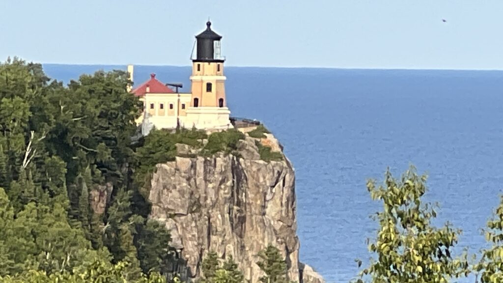
Split Rock earned its nickname thanks to its rocky coastline, which juts out from the land and had a tendency to split ships right in two! After a single storm in 1905 damaged nearly thirty ships, the U.S. Lighthouse service installed the lighthouse and fog siren to warn oncoming boats. To see the lighthouse inside and climb to the top, you have to buy a ticket ($12/Adult). There is also a Keepers house that you can tour.
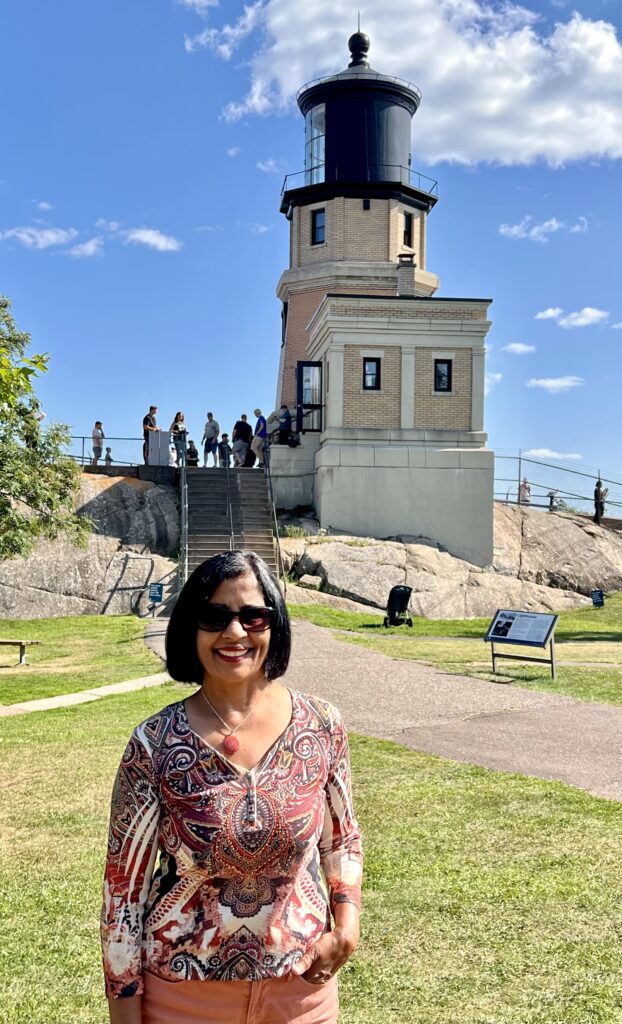
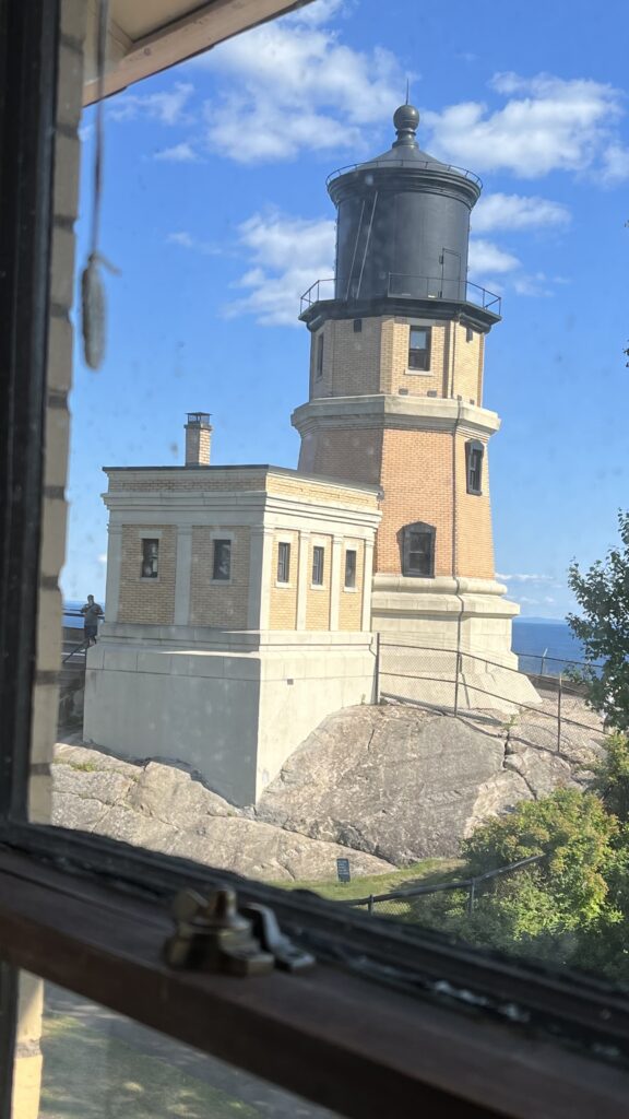
The Split Rock Scenic Overlook – This stop along Highway 61 is a perfect place to see and take a selfie or photo. Lookout for a side road about half a mile before the road that leads to Split Rock Lighthouse. This road will then join back to Highway 61 and you can continue on to the Lighthouse.
Beaver Falls/River
The river drops 300 ft in a series of cascades and can be seen from a bridge on Highway 61. There is a place to park on the wayside on Highway 61. You will see other cars parked there. You then cross over to the other side of the road and walk to the northwest corner of the bridge. There is also a path leading down to the cascades from where you can see it close up.
Black Beach
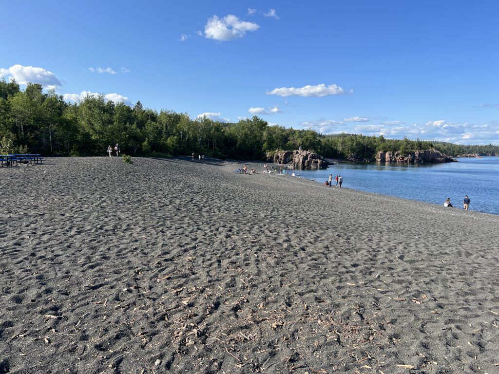
The sand here is made up of fine, black pebbles that feel nice on the feet. The trademark black sand is actually the result of Taconite mining. For decades, miners dumped taconite waste into Lake Superior, which eventually got washed ashore by the waves. After the fisherman started complaining, the miners stopped dumping. There are a few picnic tables and it is a good place to hang around with family and friends.
Palisade Head
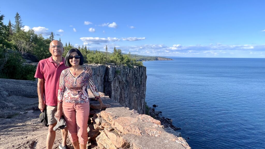
It is a short hike to an overlook. Palisade Head is technically located inside Tettegouche State Park, but it’s really more of a scenic overlook than a formal park. There is a marker off the highway. A few minutes after navigating this slow, steep, and narrow drive, you’ll find yourself at a small parking lot perched on top of dramatic lakeside cliffs. The cliffs themselves were formed by lava flows, over 1.1 billion years ago. Absolutely stunning views!
After visiting Palisade Head, we drove back to our Hotel near Dulith, stopping on the way for Dinner at Betty’s Pies. They had a good variety of dinner items as well as about 20 types of pies. The pies I ordered were lip smacking good.