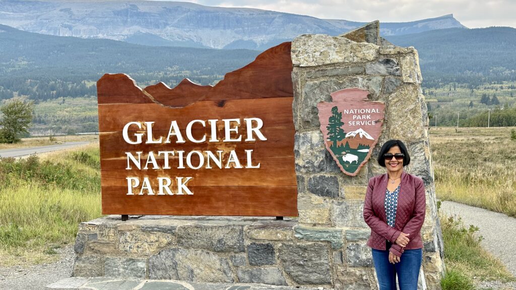
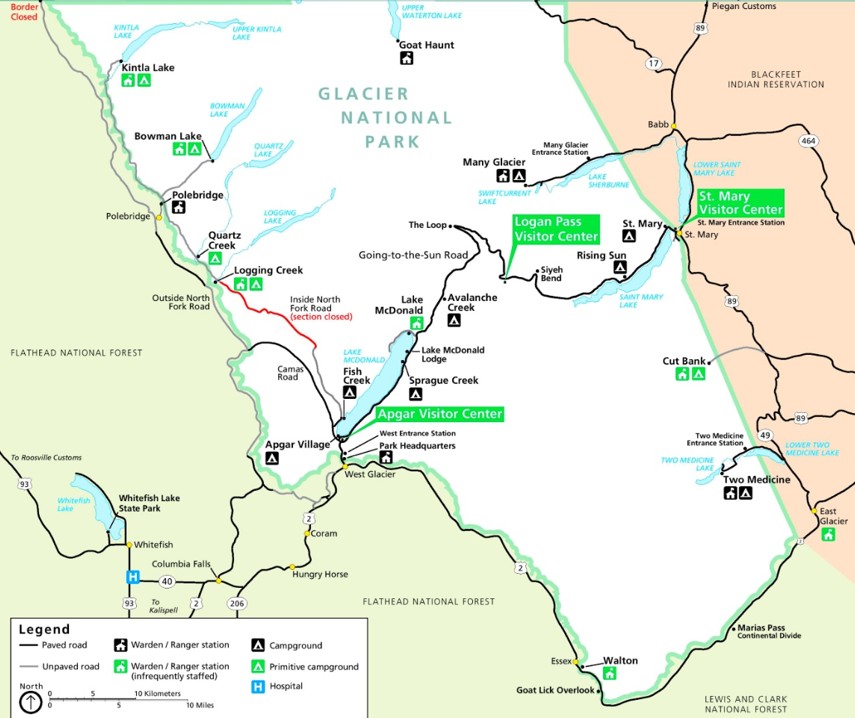
With over 700 miles of trails, Glacier National Park is a paradise for adventure seekers. The park is filled with melting glaciers, alpine meadows, carved valleys, and spectacular lakes. The most famous activity on the park is a drive on the Going-to-the-Sun Road which is about 50 miles long with many overlooks, pullouts, hiking trails and lake views. Here are some information on planning for your trip to this park –
- How many days do you need to see all the points of interest on Going-to-the-Sun Road – we spent 2 full days and were able to cover all the points of interest in a relaxed way. We also managed a few hikes that were 1-4 miles round trip. If you are interested in doing the longer and more strenuous hikes, like Gunsight Pass, Granite Park Chalet, you may need to spend 3-4 days in the park.
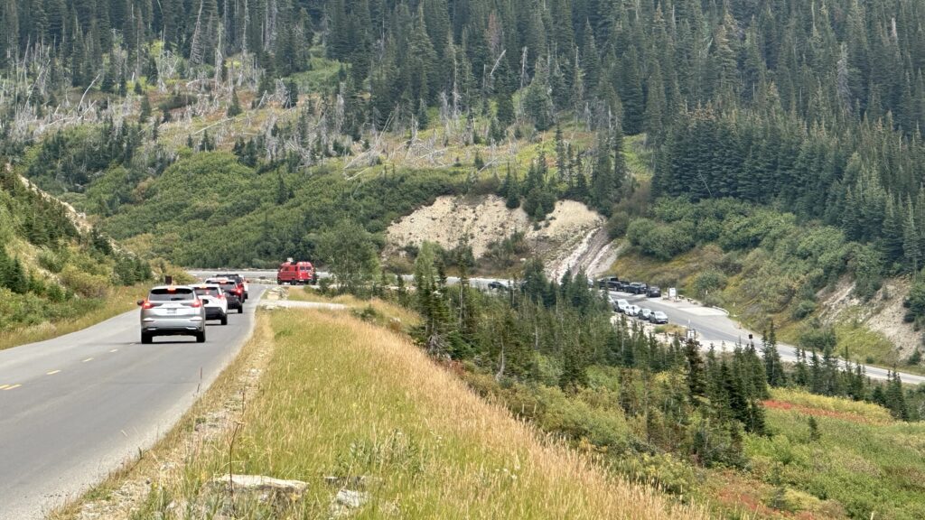
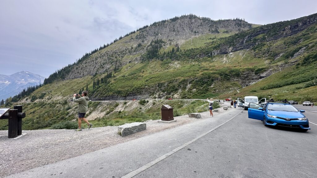
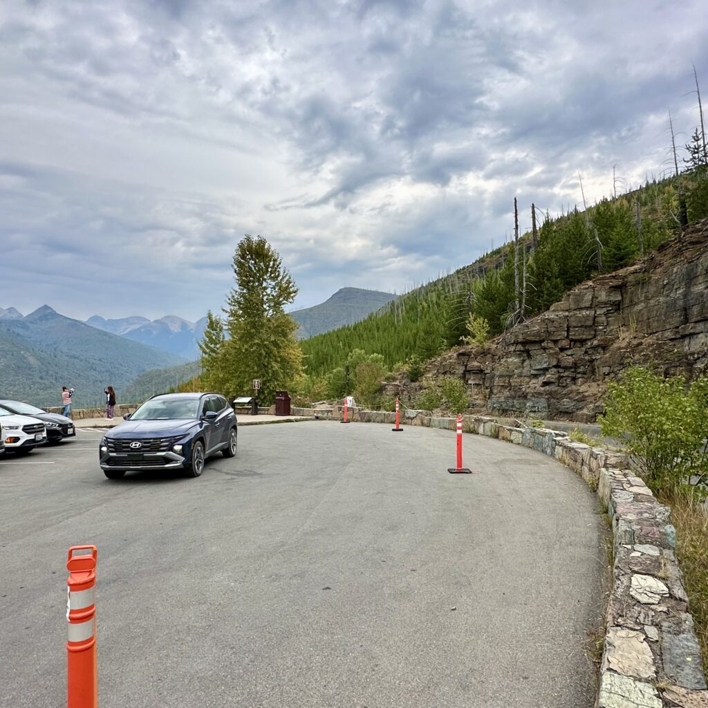
- Parking in many of the overlooks are limited. If we did not find a parking spot, we drove on and came back to it later.
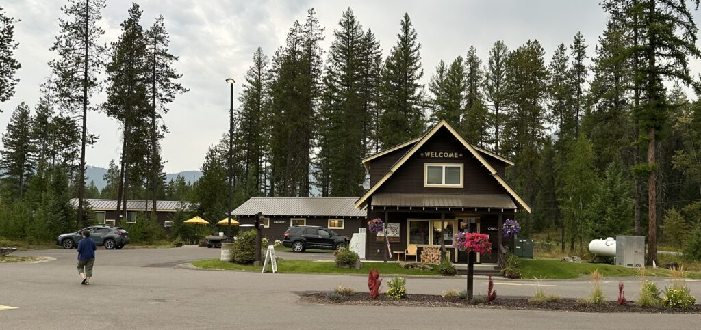
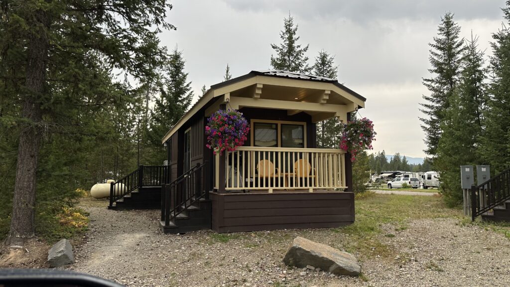
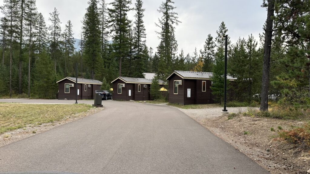
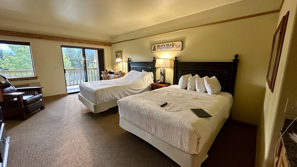
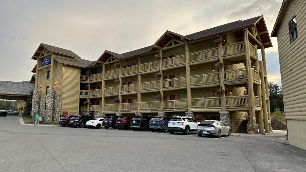
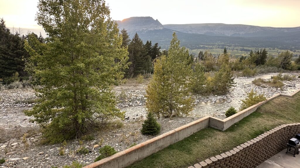
- Where did we stay – We tried to get reservations in one of the lodges inside the park but could not. We decided to stay in Saint Mary’s lodge on the eastern border of the park. The lodging was awesome with spacious rooms and a view of a charming creek from the balcony. An advantage of staying on the east – you do not need the timed reservation to enter the Going-to-the-Sun Road.
- Park Openings – The Going-to-the-Sun Road is open usually from mid June – September. A timed entry reservation is necessary to enter from the west side between 7 a.m. and 3 p.m. from June to September. The boat rides on many of the major lakes start closing by middle of September. Boat ride on Saint Mary Lake was closed by September 7th in 2025.
- Saint Mary Lodge
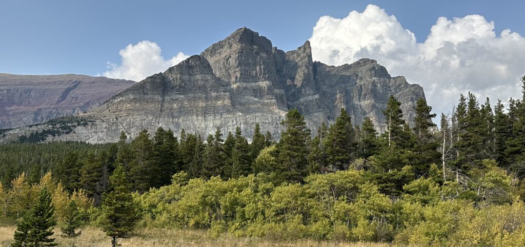
- Going-to-the-Sun Road
- Many Glacier
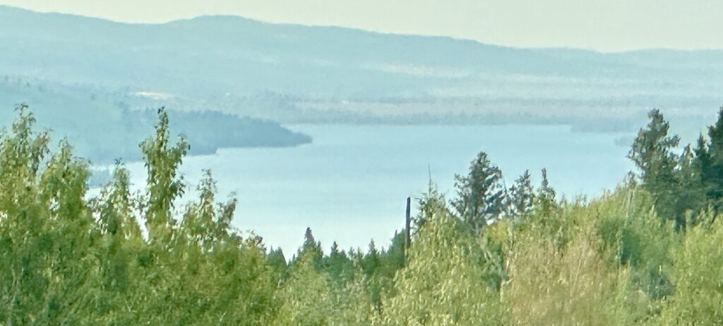
- Lower St Mary Lake
- Apgar Village
Saint Mary Lodge – The room at the lodge was spacious and comfortable with view of a charming and scenic creek from the balcony. The complex also had a restaurant, cafe, supermarket, a small grocery, and gas station.
Going-to-the-Sun Road – is a 50-mile scenic highway, offering stunning views of mountains, glaciers, and wildlife.
- The road is typically open from late June or early July to early October, depending on snow conditions, and requires a timed entry vehicle reservation to access from the west side during peak season. Visitors can drive the road in their own vehicles, take a historic red bus tour, or use the park’s free shuttle system.
- Amenities are limited along the main route, with restrooms and pull-outs available, but no gas stations or water.
- Vehicles longer than 21 feet, wider than 8 feet, or over 10 feet high are prohibited due to the narrowness of the road.
Day 1 – We visited half the sites along the Going-to-the-Sun Road. Our last stop on Going-to-the-Sun Road on Day-1 was at Bird Women Falls Overlook. We then drove to Many Glacier area and hiked the Apukini falls.
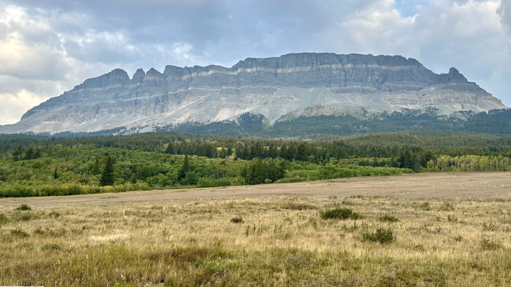
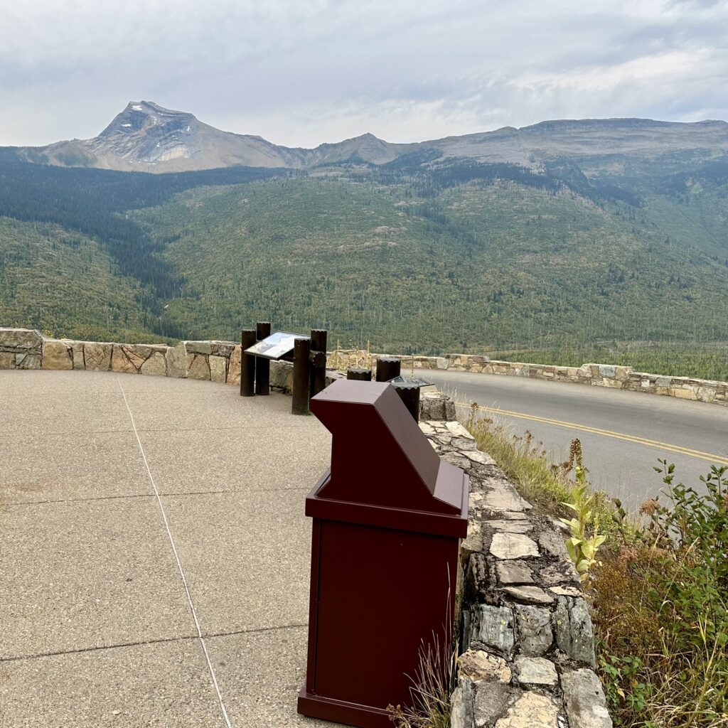
Two Dog Flats – is a rare flatland in the park and if you are lucky, you may spot wildlife. We did not see any. You can get a great view of the East Flattop Mountain from here. Standing at approximately 8,361 ft, it is situated in the Lewis Range, rising north of Saint Mary’s Lake.
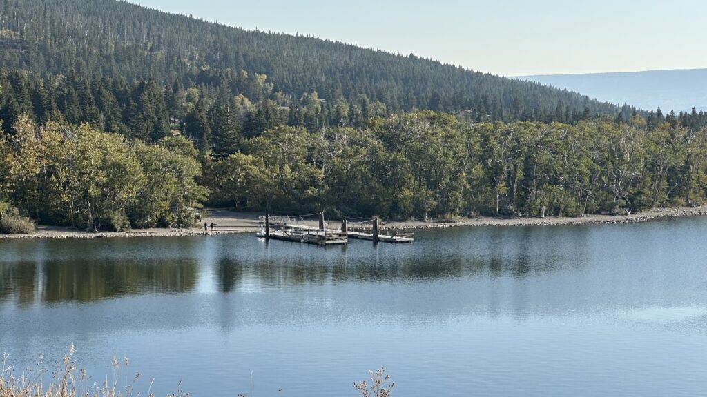
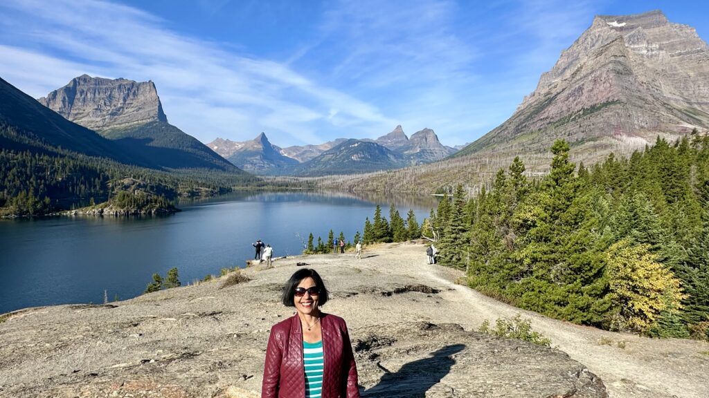
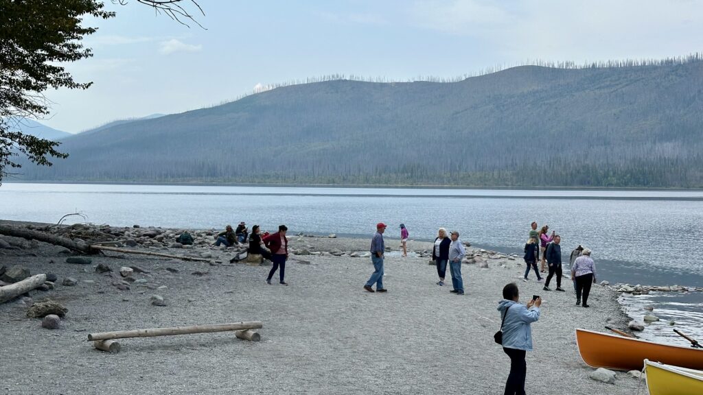
Rising Sun – has a motel, cafe, and a store. On the other side there is the Saint Mary boat deck and a little further, a great view of St Mary’s Lake
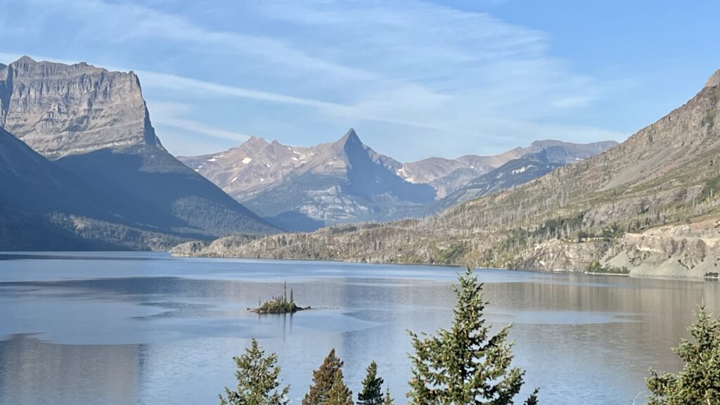
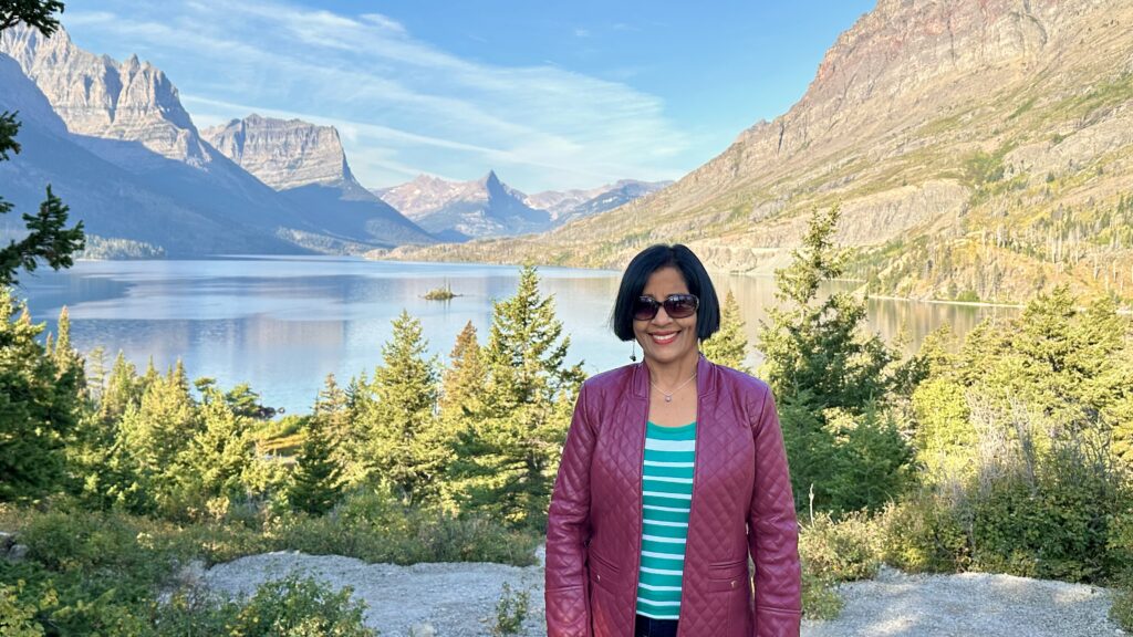
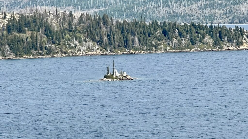
Wild Goose Island – a short walk from the parking lot will take you to a view of the tiny Wild Goose Island, which is one of the most recognizable scenes in the park. Surrounded by towering mountains, the tiny island rises only 14 feet from the surface of St Mary Lake.
Sun Point – This place has a huge parking lot. A short walk will take you to a place with rocks from where you have some nice views of St. Mary Lake. Also, from this point, you’ll find several hiking trails, including one that takes you back to St. Mary Falls, Virginia Falls etc.
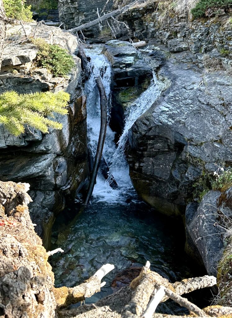
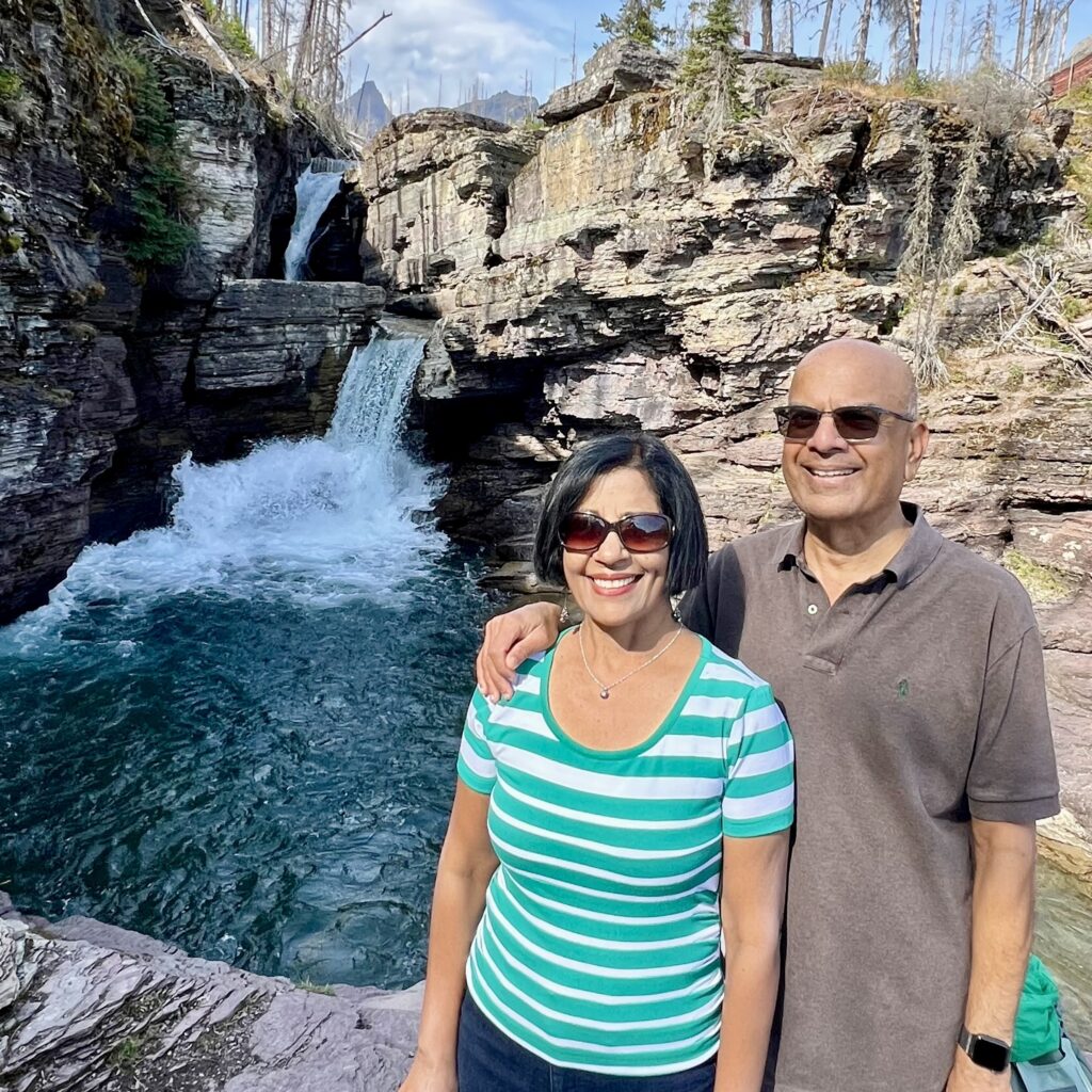
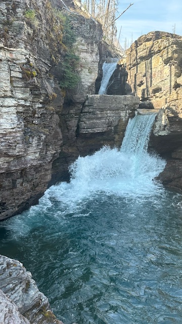
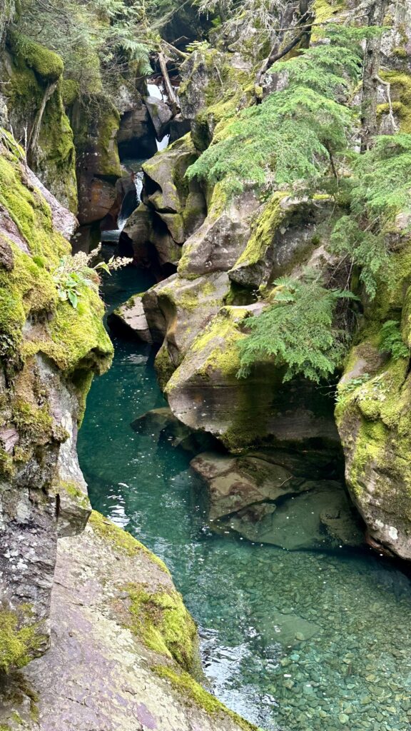
Sunrift Gorge – From the parking lot, you can take the stairs down (on either side of the road) to get a spectacular view of a water carved gorge with rushing water.
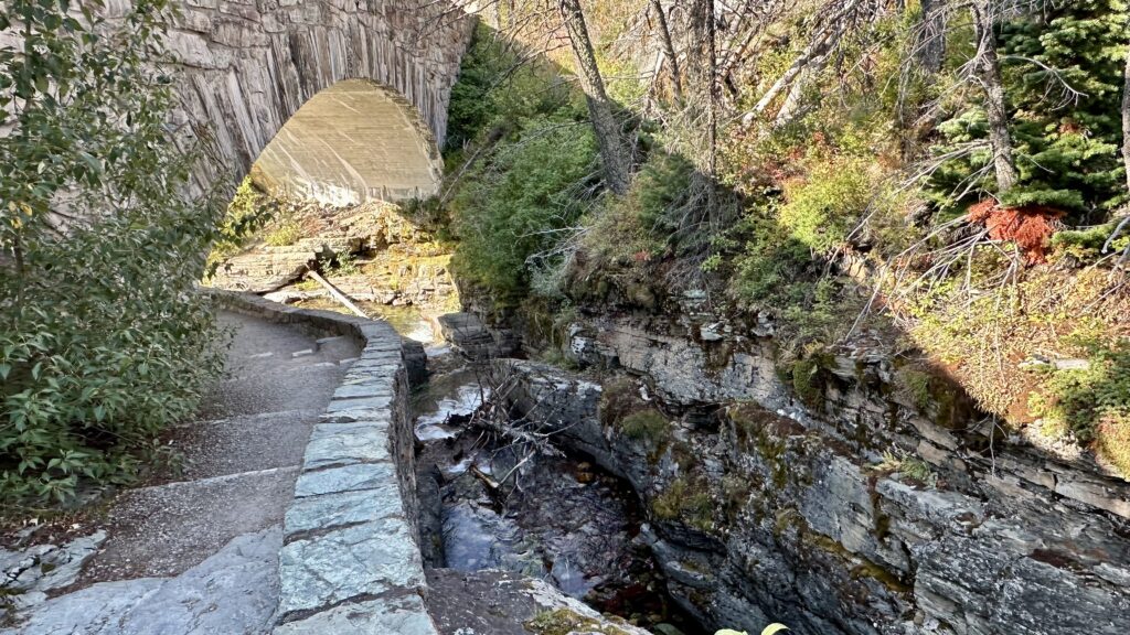
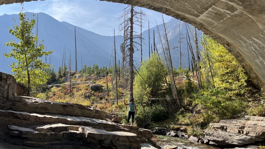
You can walk under the arch and take a 0.3 mile hike to Baring Falls.
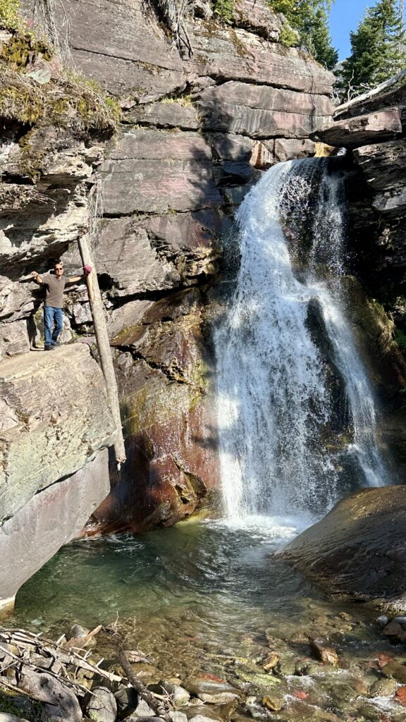
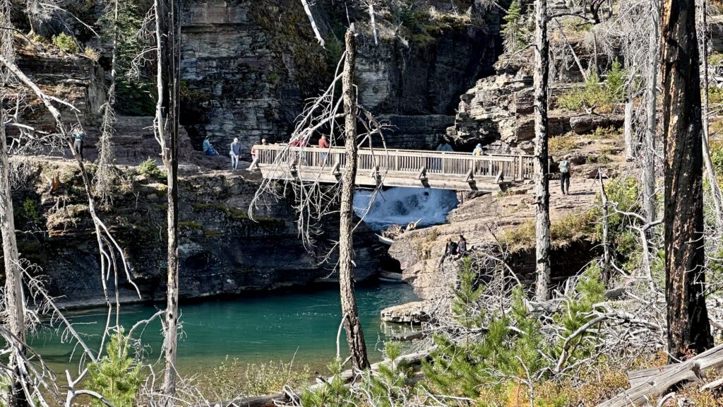
St Mary’s Falls – If you’re looking for a hike to a splendid waterfall, consider a stop here. The hike to St. Mary Falls is a 2.2 mile round trip. You can continue on further to Virginia falls which will add another 1.4 miles. Parking is limited here, we parked at Sunrift Gorge (see previous section) and walked an extra mile. You can also access this falls on a longer hike from Sun Point which has a huge parking lot.
Gunsight Pass Trail – we skipped entirely. This is a trailhead and there’s not much more here. The Gunsight Pass Trail is listed as strenuous since you climb to the Continental Divide. The payoff though is reportedly some amazing mountain views.
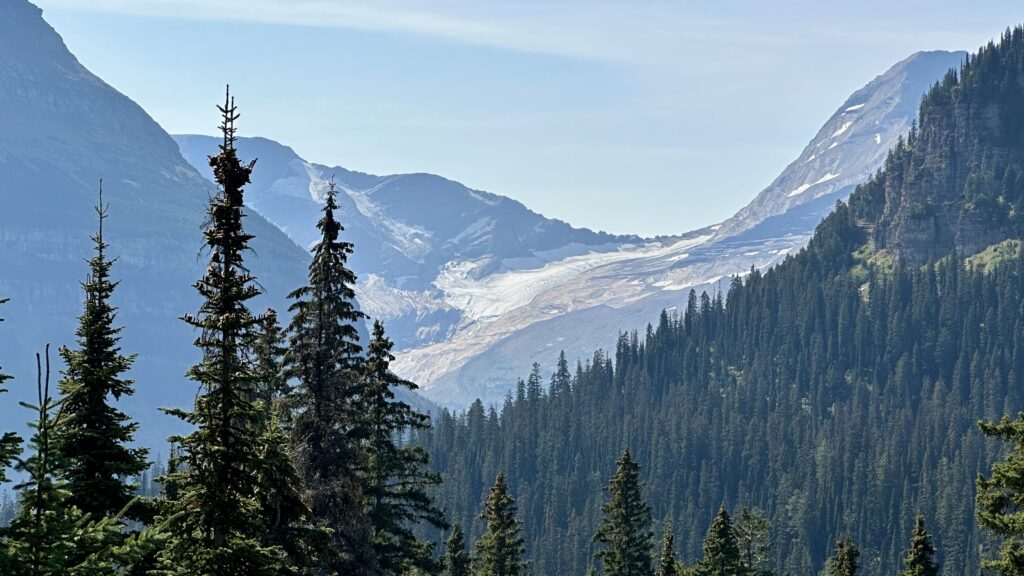
Jackson Glacier Overlook – The number of glaciers in Glacier National Park is rapidly decreasing due to climate change. There an exception and that’s Jackson Glacier, which can be seen from the Going-to-the-Sun Road.
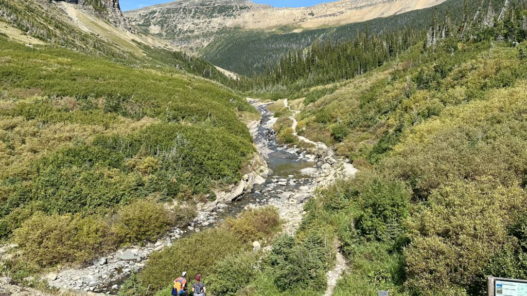
Siyeh Bend – marks the transition between the higher elevation subalpine vegetation and the forests of the east side and is the starting point for many hikes. We did not do any hikes here but we spent almost an hour enjoying the scenic creek and waterfalls.
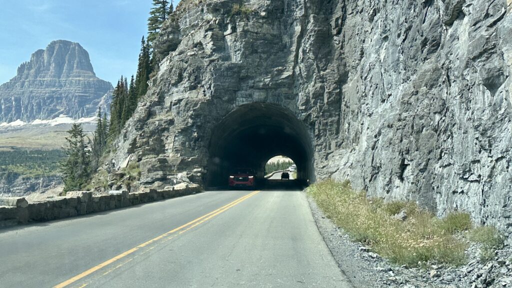
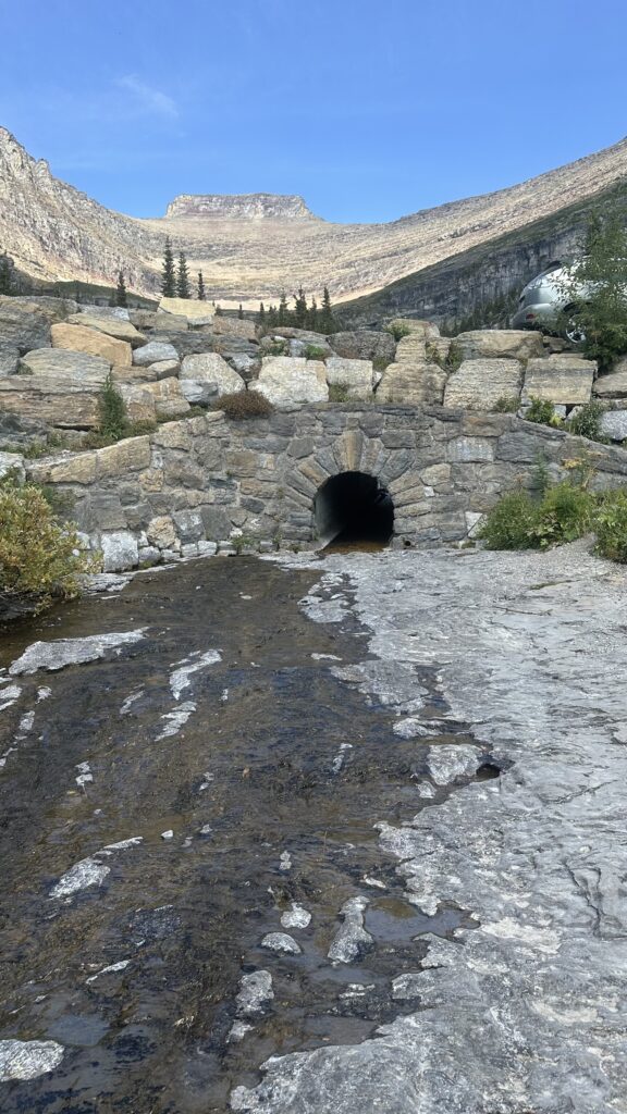
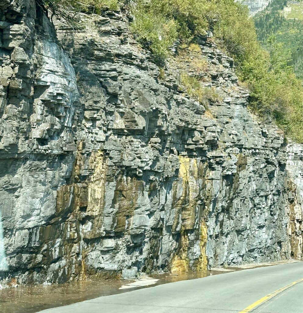
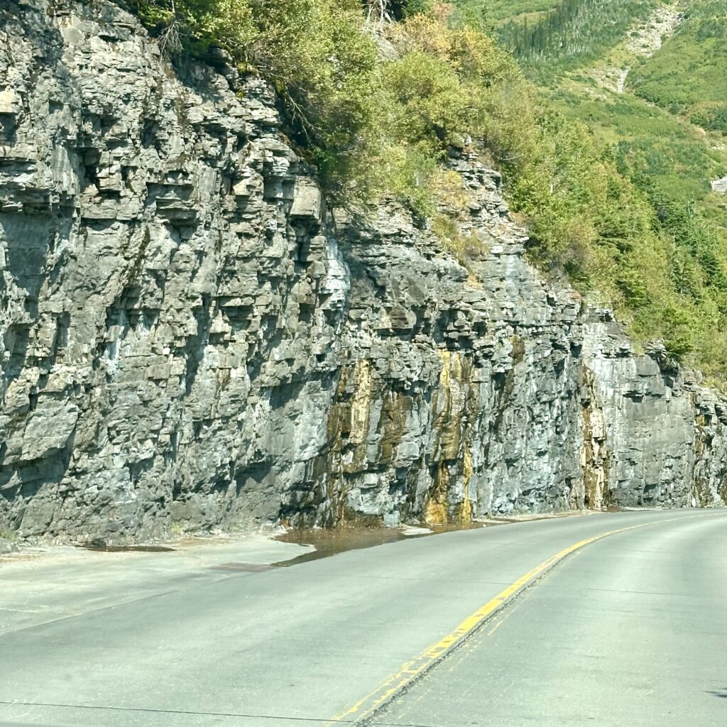
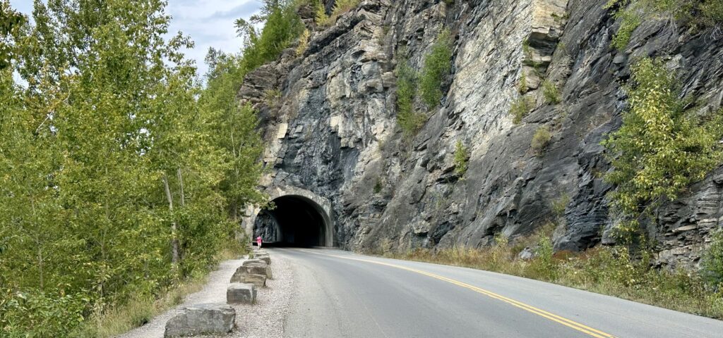
East Tunnel – This 408-foot tunnel through Piegan Mountain was one of the most difficult challenges of constructing Going-to-the-Sun Road.
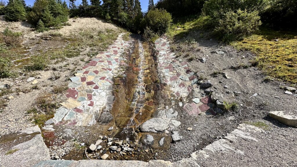
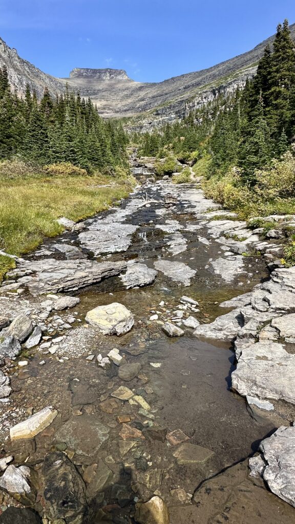
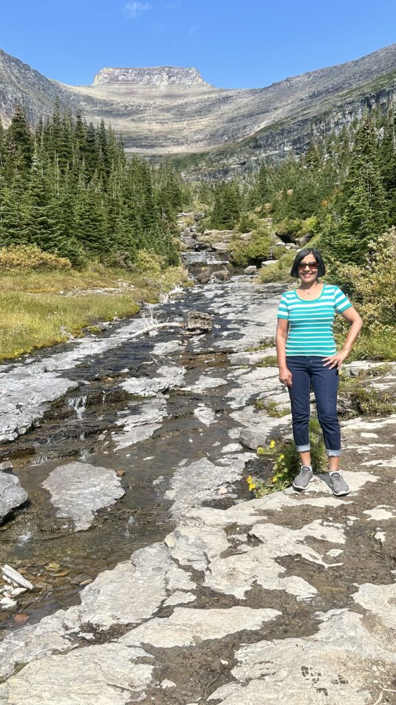
Lunch Creek – Water flows down a natural rock staircase from the striking backdrop of Pollock Mountain. You can take a short walk along the rocky water stream. Parking is limited here.
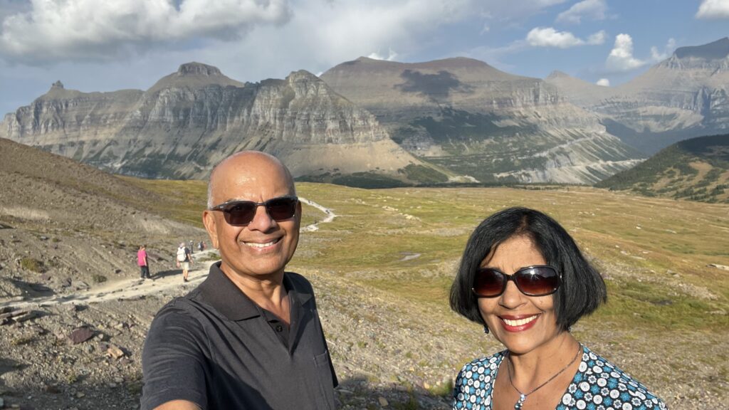
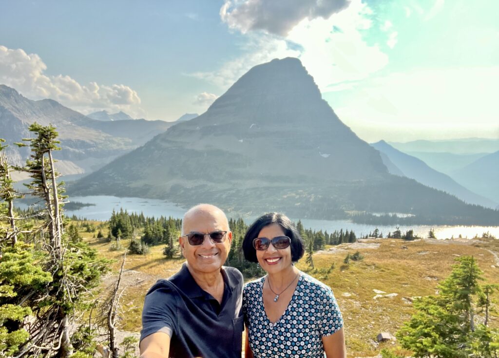
Logan’s Pass – The pass sits at the Continental Divide, a point where water flows to either the Atlantic or Pacific Ocean. At 6,646 feet, it’s the highest point on the Going-to-the-Sun Road accessible by car. The area features a visitor center offering exhibits, restrooms, and information about the park’s subalpine ecosystem. There is no food available here. The popular Hidden Lake Overlook Trail and the Highline Trail begin here.
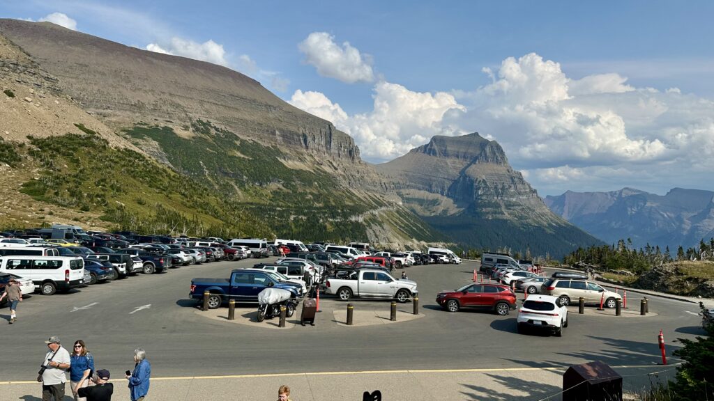
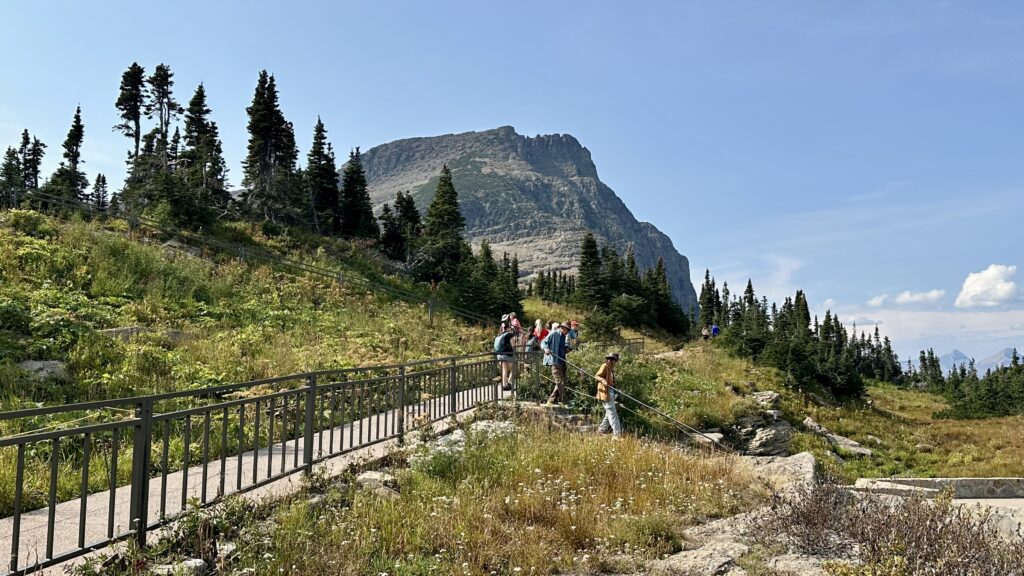
Although, the parking area is fairly large, it is impossible to find parking between 8am-3pm. We moved on and came back after 3pm to hike the Hidden Lake Overlook Trail, which was a 2.6 mile round trip hike with an elevation gain of 600feet. It is moderately strenuous. The view along the trail and at the end is totally worth the effort.
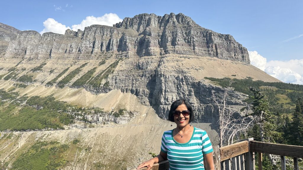
Oberlin Bend – From the parking lot, walk along the short boardwalk to reach an outstanding view of Going to the Sun Road. You’ll see cars traversing the road as well as the amazing scenery around it. Parking is limited here and we did not get a spot on our first attempt.
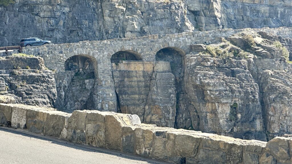
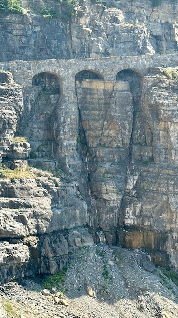
Triple Arches – This architectural marvel is visible when you travel west to east. Triple Arches is more about impressive engineering than scenery.
There is no parking to admire the arches. You’ll have to be ready to take a picture from your car as you drive past. We found a tight 1-car parking area on the opposite side of the road where we parked and quickly crossed the road to take a picture.
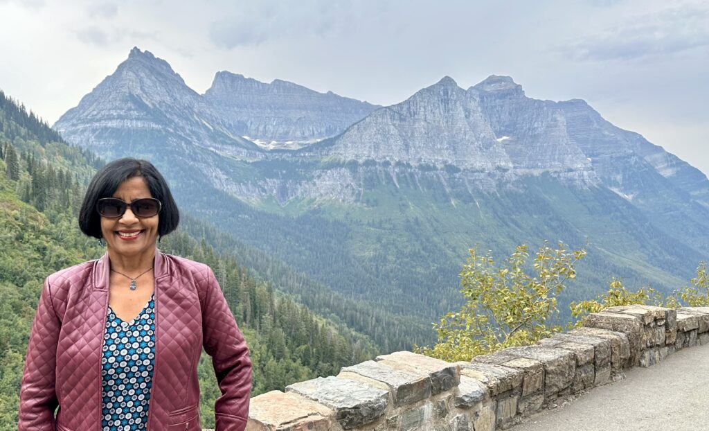
Big Bend – is a wide sweeping curve with dramatic vistas of the Lake McDonald Valley, and the high peaks of Mount Canon, Oberlin, and Heaven’s Peak. This is a great place to stop and take a break from driving. There a fairly big parking lot at this overlook.
Weeping Wall – Whether or not you’ll be impressed with the Weeping Wall depends on when you are visiting Glacier National Park. This wall is wet with water falling down from the snow melt of the mountains above. During the spring time, you’ll want to roll up your car windows to avoid getting wet. Not the case when we visited in September. The walls were barely wet. Also, this is a drive by kind of stop. There is no parking at Weeping Wall.
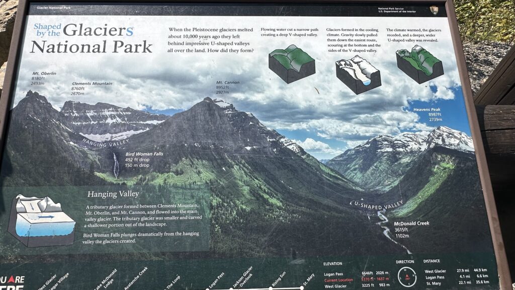
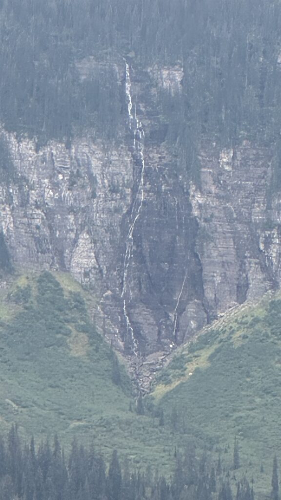
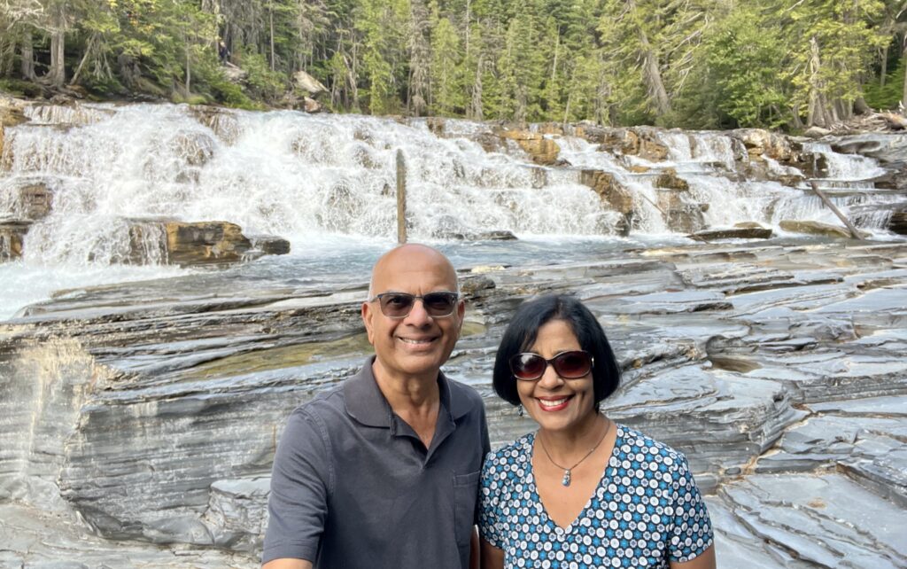
Bird Women Falls Overlook – This waterfall cascades 492 feet from the hanging valley between Mt Oberlin and Mt Cannon. It is a far off view and at the time we visited, there was probably not much water and we saw a line on the walls of the rock.
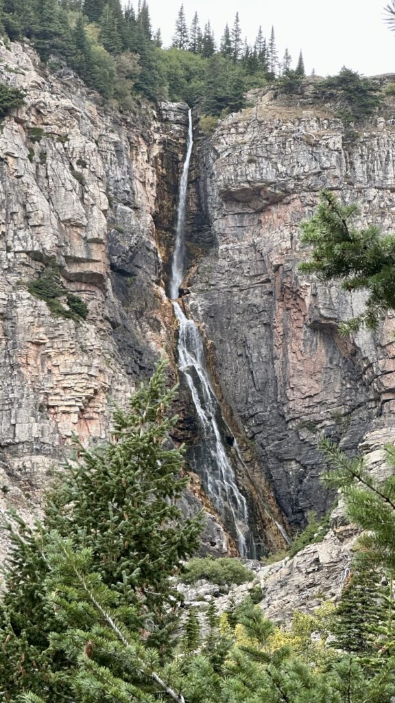
Many Glacier – is a distinct area on the east side of the park, separate from the Going-to-the-Sun road. It has an entrance of its own and a separate timed entry reservation is required. We did not have any timed entry reservation when we reached the Many Glacier entrance after 5 pm on Day-1. The security person at the gate was nice enough to let us in, since we were only going to hike the Apikuni Falls trail which was about 3 miles from the entrance. The largest lake in this area is the Sherburn Lake.
The trail to Apikuni Falls is moderately strenuous and is 2-mile round trip with an elevation gain of 650 feet.

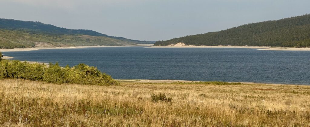
Lower St Mary Lake – The Lake on the Going-to-the-Sun road is the Upper St Mary Lake. The Lower St Mary Lake is located outside the east entrance and can bee seen on the way to Many Glacier.
Day 2 – We visited all the sites on the eastern half of the Going-to-the-Sun Road, starting at Loop.
Loop – The only switchback on the road with a view of Heaven’s peak. A strenuous 4-mile (1-way) hike to Granite Park Chalet begins here.
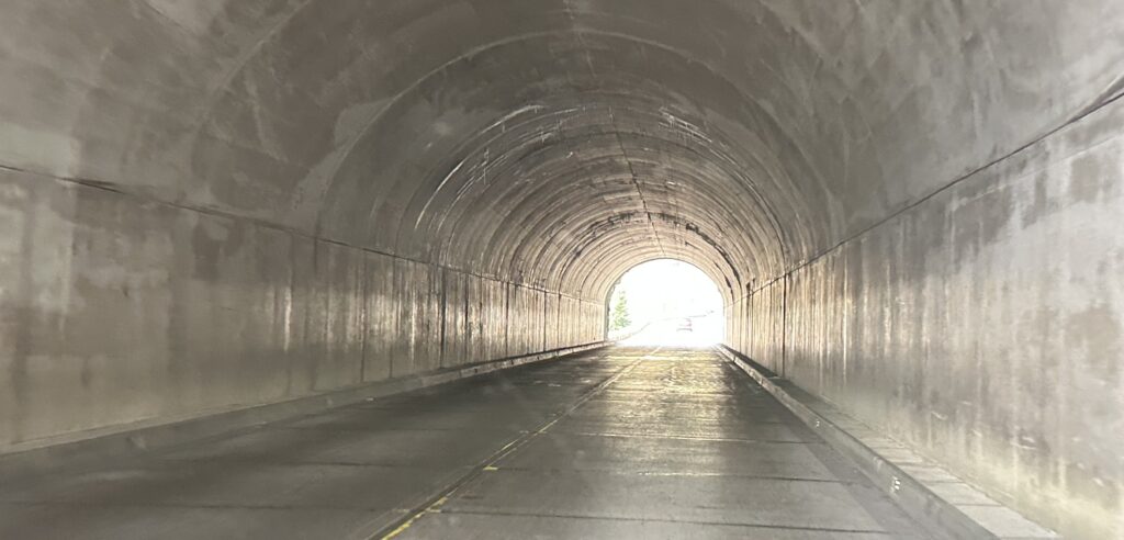
West Tunnel – This 192 feet tunnel located closer to the park’s west entrance, was built in 1926, which was a great feat at that time.
Red Rock Overlook – A short walk down to a scenic creek with reddish colored sedimentary rocks.
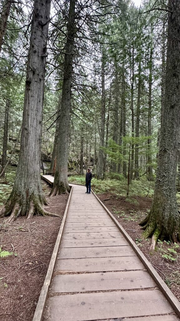
Cedar Trail – This is a popular and easy 1-mile round trip trail on boardwalk. You will loop through an old-growth cedar and hemlock forest, a footbridge over Avalanche Creek, and interpretive signs. The trail is an excellent option for families and those with limited mobility, and it serves as the trailhead for the moderate hike to Avalanche Lake. This place has a huge parking lot but finding a parking space can still be challenging between 10am-3pm.
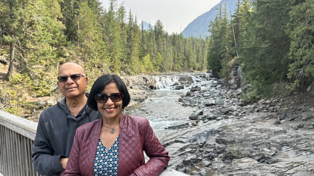
McDonald Creek – This is another scenic stop with water cascading along. It has a fairly spacious parking lot and a paved path to an overlook.
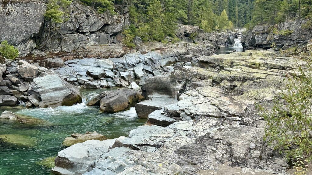
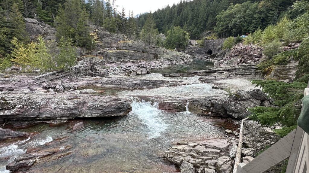
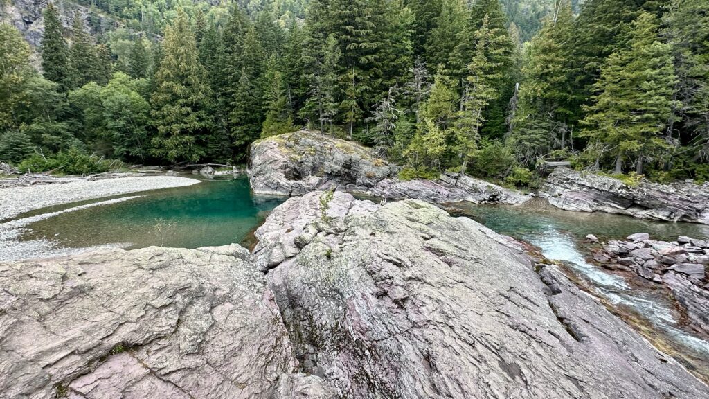
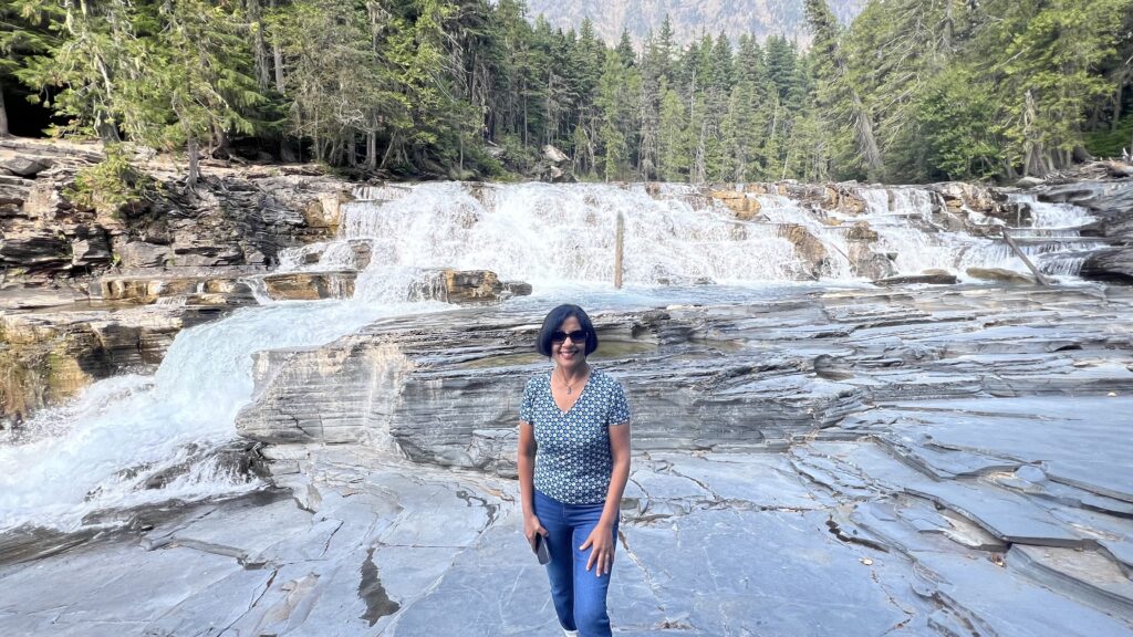
Sacred Dancing Cascade – short walk from the parking lot takes you down to a beautiful view of the 7-foot tall, 60-foot wide Sacred Dancing Cascade that spills down McDonald Creek.
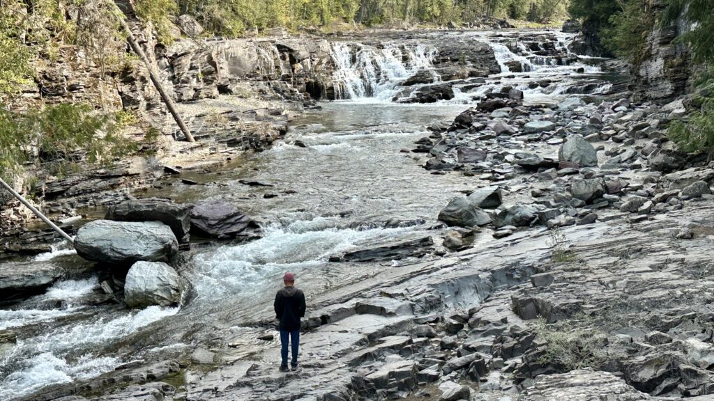
Macdonald Falls – short walk from the parking lot takes you down to a view of cascading falls. You get a fairly good view of the falls from the parking lot. You can go closer to the falls by walking down a short and steep path which is not paved. The upper portion of the waterfall is the most scenic and tumbles down the creek’s bedrock at approximately 8-feet tall or slightly higher. In its entirety, McDonald Falls spills down McDonald Creek from a height of about 22-ft.
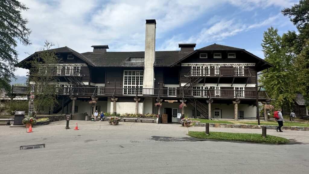
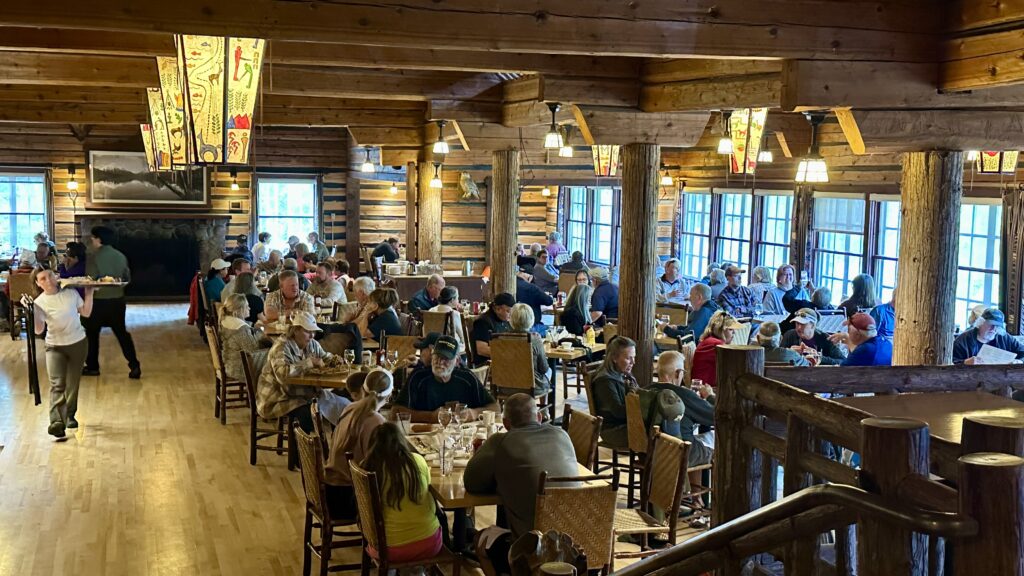
Macdonald Lodge – Located within Glacier National Park, on the southeast shore of Lake McDonald, the lodge is a 3 and half story structure built in 1913. The foundation and first floor walls are built of stone, with a wood-frame superstructure. The rustic lodge was designated a national Historic Landmark in 1987.
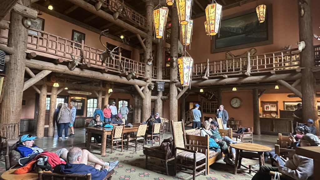
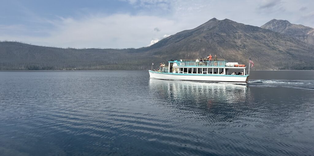
Boat Ride on Macdonald Lake – boating dock is behind the Macdonald lodge. You walk to the dock through the lodge. Bought the tickets for the 1-hour scenic boat ride. Gorgeous ride with a fantastic commentary. We heard about the lake, mountains surrounding the lake, all about the 2 fires in 2003 and 2018 that caused a lot of damage to the park.
Apgar Village – On the last day of out visit to Glacier Park, we stayed in Apgar village which is located near the West Glacier entrance. They have lodging, a convenience store, restaurant, cafe, and gift shops.