The drive from Fes to Merzouga was 7-8 hours long with many stops and attractions on the way.
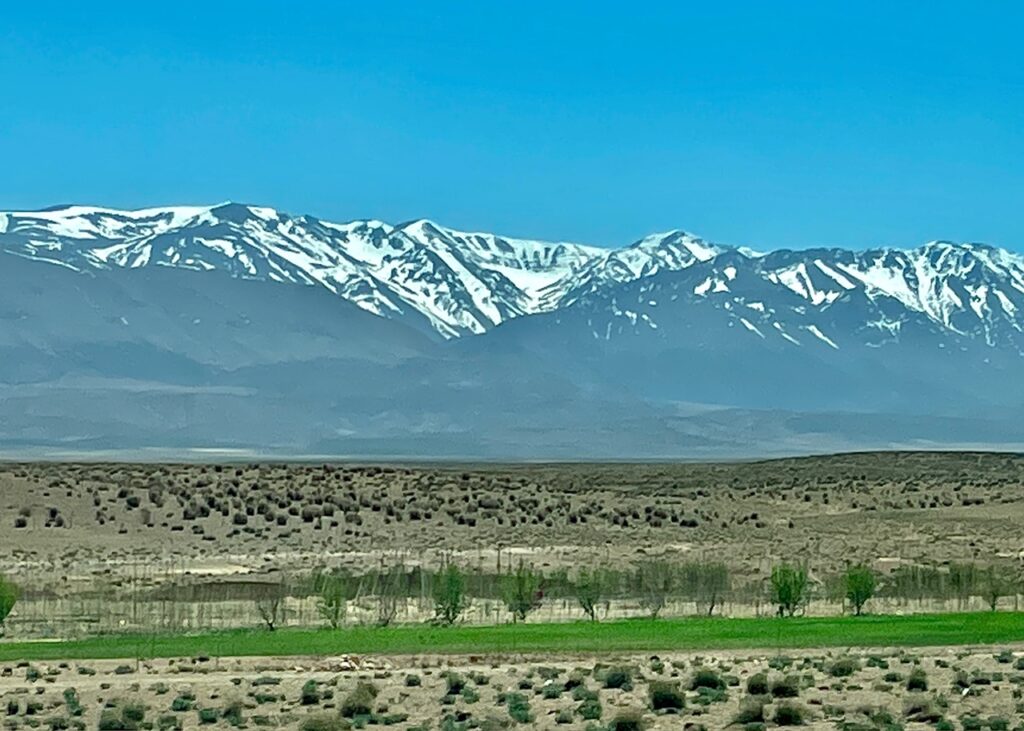
Middle Atlas mountains followed us all the way, rather we followed the mountains all the way :-).
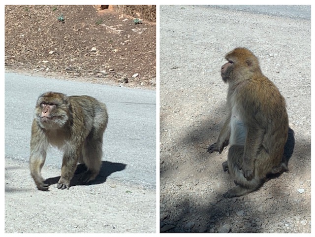
The Middle Atlas range covers a vast area, lying just south of Fez and Meknes and running south towards Marrakech. Often covered in thick forest, with oak and cedar prevalent in the north, it is home to lakes, the Barbary “ape” (really a macaque) and numerous Berber towns, many of which are little visited by tourists.
It is the most fertile of the Atlas ranges and runs from for around 350 km south of Fez and Meknes. Although lower and generally less craggy than the High Atlas range, it has several peaks over 3,000 m and has a highest peak at Jebel Bou Naceur (3,340 m).
Monkeys on the road near Cedar forest
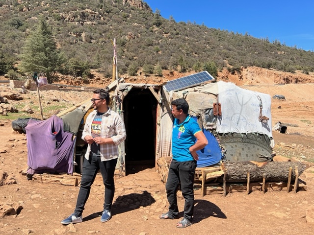
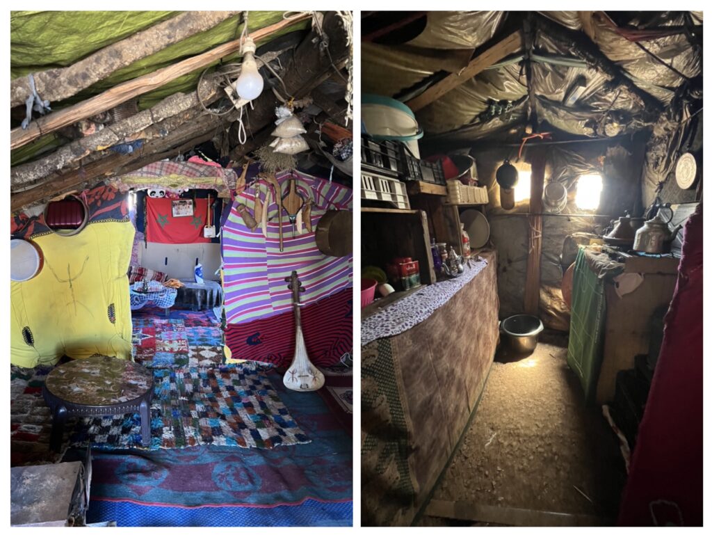
Berber lifestyle and tents – Berbers are descendants of the pre-Arab inhabitants of North Africa. Berbers are estimated to make up more than three-fifths of the population in Morocco. Some pictures of makeshift Berber tents where they live a nomadic life.
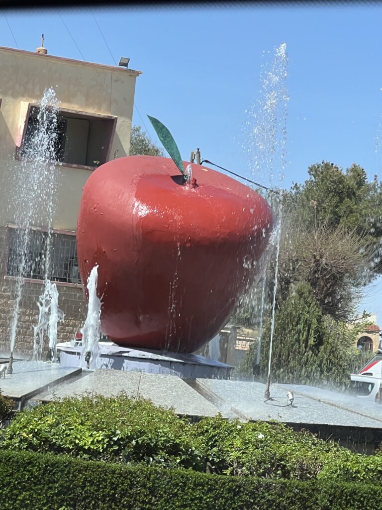
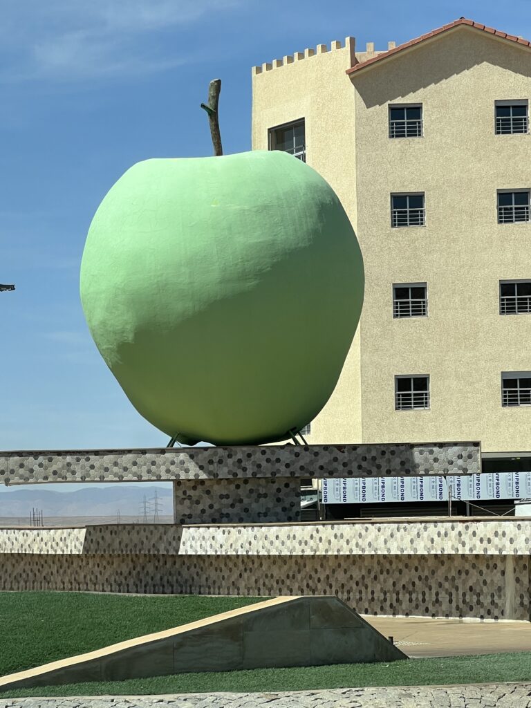
Midlet, city of Apples – City is named Midlet, since it is situated in central Morocco between the Middle Atlas and High Atlas mountain ranges. The cooler climate helps apple grow well in this region.
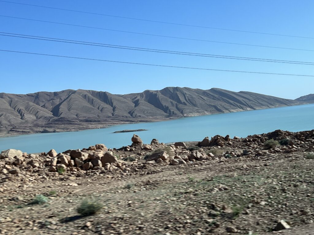
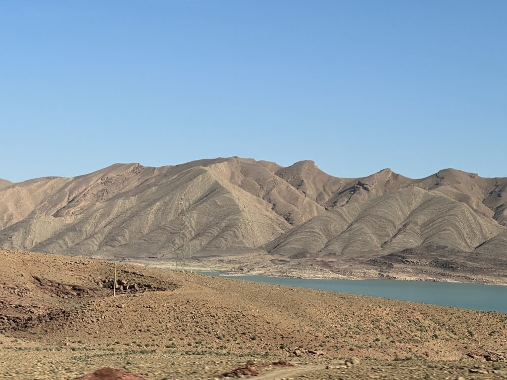
Errachida Dam at the foothills of Atlas mountains, generates hydroelectricity to this area.
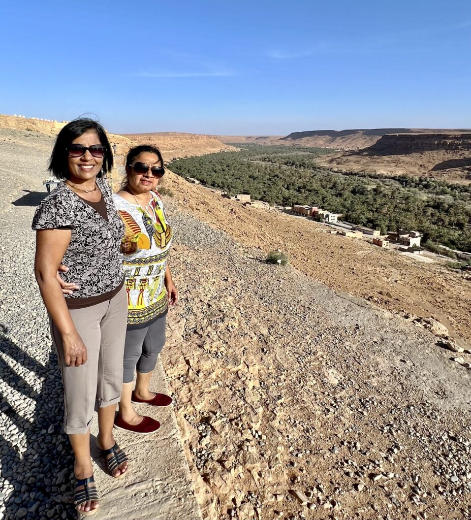
Ziz Valley – A birds eye view will show you that what was once the river has now been transformed into a magnificent palm grove of more than 20km long. The contrast of the green palm trees with the red mountain earth lets you see the typical ochre colored houses that are arranged along this valley to form a spectacular landscape that cannot be missed if you travel on these roads.
At the end of the day, just around sunset we reached Merzouga where we were greeted by tall red sand dunes.